Park nearby Brewin Temporary Park
Hong Kong
Park nearby Brewin Temporary Park
Brewin Temporary Park
9, Brewin Path, Hong Kong Island, HK Hong Kong
contacts phone
:
+852
Latitude:
22.2746802
, Longitude:
114.1562001
larger map & directions
read more
nearest Park
357 m
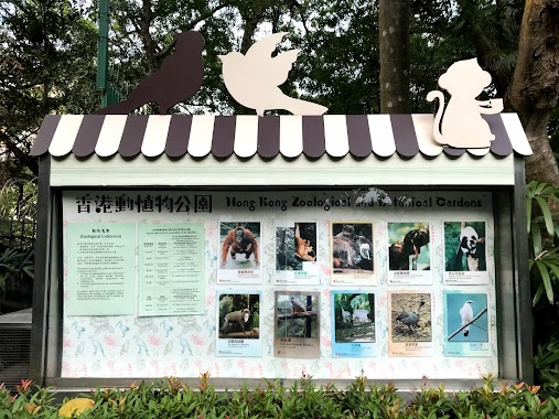
Hong Kong Zoological And Botanical Gardens
Albany Road, Central
Park
read more
366 m
Fountain Terrace Garden
1 Upper Albert Road, Central
Park
read more
366 m
噴水池平台花園
Church Guest House, 號, 1 Upper Albert Road, Central
Park
read more
485 m
Edward Youde Aviary
7 Kennedy Road, Central
Park
read more
545 m
Fighting SARS Memorial Architectural Scene
19 Cotton Tree Drive, Central
Park
read more
625 m
Cheung Kong Park
Central
Park
read more
671 m
Hong Kong Park
19 Cotton Tree Drive, Central
Park
read more
672 m
Hong Kong Park Conservatory
19 Cotton Tree Drive, Central
Park
read more
694 m
Lan Kwai Fong Sitting Out Area
Hong Kong
Park
read more
779 m
Fountain Plaza
Cotton Tree Drive, Central
Park
read more
852 m
Chater Garden
遮打道
Park
read more
1.024 km
Bowen Road Park
Hong Kong
Park
read more
1.306 km
The Culture Plaza
Admiralty
Park
read more
1.438 km
Ship Street Playground
Wan Chai
Park
read more
1.46 km
Bauhinia Garden
Wan Chai
Park
read more
1.624 km
灣仔峽道休憩處
Wan Chai Green Trail, The Peak
Park
read more
1.654 km
Yan Hui 5th Floor # Public Space
44-56 Lee Tung Street, Wan Chai
Park
read more
1.654 km
5/F 平台花園
44-50 Lee Tung Street, Wan Chai
Park
read more
1.669 km
五樓平台花園,利東街公共空間
5/F, 30號 Amoy Street, Wan Chai
Park
read more
1.737 km
Shui on centre Amarzaya
8 Harbour Road, Wan Chai
Park
read more
1.787 km
Stone Nullah Lane Garden
Wan Chai
Park
read more
1.858 km
Tai Wo Street Playground
Tai Wo Street, Wan Chai
Park
read more
1.869 km
Kennedy Street Sitting-out Area
Near junction of, Kennedy Street
Park
read more
1.877 km
Fleming Road Garden
108 Gloucester Road, Wan Chai
Park
read more
1.926 km
賽馬會復康花園
Wan Chai
Park
read more
📑
all categories
Accounting
Administrative area level 1
Administrative area level 2
Airport
Amusement park
Aquarium
Art gallery
Atm
Bakery
Bank
Bar
Beauty salon
Bicycle store
Book store
Bowling alley
Bus station
Cafe
Campground
Car dealer
Car rental
Car repair
Car wash
Casino
Cemetery
Church
City hall
Clothing store
Colloquial area
Convenience store
Courthouse
Dentist
Department store
Doctor
Electrician
Electronics store
Embassy
Establishment
Finance
Fire station
Florist
Food
Funeral home
Furniture store
Gas station
General contractor
Grocery or supermarket
Gym
Hair care
Hardware store
Health
Hindu Temple
Home goods store
Hospital
Insurance agency
Jewelry store
Laundry
Lawyer
Library
Light rail station
Liquor store
Local government office
Locality
Locksmith
Lodging
Meal delivery
Meal takeaway
Mosque
Movie rental
Movie theater
Moving company
Museum
Natural feature
Neighborhood
Night club
Painter
Park
Parking
Pet store
Pharmacy
Physiotherapist
Place of worship
Plumber
Point of interest
Police
Post office
Premise
Real estate agency
Restaurant
Roofing contractor
Route
Rv park, camping
School
Shoe store
Shopping mall
Spa
Stadium
Storage
Store
Subway station
Supermarket
Synagogue
Taxi stand
Train station
Transit station
Travel agency
University
Veterinary care
Zoo
↑