Doctor nearby Lo, Wai Hoi Doctors
Hong Kong
Doctor nearby Lo, Wai Hoi Doctors
Lo, Wai Hoi Doctors
Hong Kong, Quarry Hill, 九龍何文田敬德街7號雲華台4樓
contacts phone
:
+852
Latitude:
22.319565
, Longitude:
114.180013
larger map & directions
read more
nearest Doctor
465 m
龢暢堂中醫
d,, 118 Argyle Street, Ho Man Tin
Doctor
read more
715 m
SkinPro
染布房街6號華樂大廈地下, Mong Kok
Doctor
read more
736 m
Oi Man Chinese Medical Clinic
No. 12 Hill
Doctor
read more
798 m
德醫堂中醫診所
336 Ma Tau Wai Road, To Kwa Wan
Doctor
read more
834 m
Ko, Yu Chun Doctors
G/F, Geranium Hse, Ma Tau Wai Est, Kln
Doctor
read more
859 m
Lam Kyu Kyu Doctors
九龍土瓜灣浙江街46號地下A舖
Doctor
read more
869 m
蘇安莎中醫診所
Chung Hwa Building, Ma Hang Chung Road, To Kwa Wan
Doctor
read more
927 m
友好國際醫療中心
97 Mong Kok Road, Mong Kok
Doctor
read more
933 m
旺角磁力共振中心
130B Fa Yuen Street, Mong Kok
Doctor
read more
951 m
金身之美
Chung Nam Mansiion, 號, 2-4 Mok Cheong Street, Ma Tau Chung
Doctor
read more
959 m
Dr Wong Ping On Bone Setter
號 地下, 40A Sheung Heung Road
Doctor
read more
966 m
黃炳安跌打醫館
40 Sheung Heung Road, To Kwa Wan
Doctor
read more
993 m
名創大藥坊
42 Mong Kok Road, Mong Kok
Doctor
read more
1.007 km
Ngan Ching Po Doctors
九龍土瓜灣落山道70號地下健恩醫務中心
Doctor
read more
1.028 km
仁澤醫務中心
76 Lok Shan Road, To Kwa Wan
Doctor
read more
1.071 km
吕达雄医生
Sino Centre, 号 信和 中心 901 室 按 9 字, 582-592 Nathan Road, Mong Kok
Doctor
read more
1.071 km
Dr. Reshape
旺角彌敦道信和中心18樓
Doctor
read more
1.102 km
毛小玲中醫醫務所
旺角彌敦道566-568A號僑建大廈566-568 14字樓566A室
Doctor
read more
1.143 km
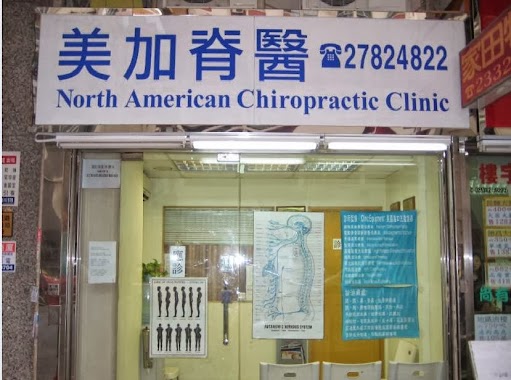
美加脊骨神經科診所
21 Waterloo Road, Yau Ma Tei
Doctor
read more
1.167 km
Chang Wai Hang Doctors
九龍九龍城聯合道2號地下
Doctor
read more
1.222 km
Wong, Tak Hung Doctors - Natham Tower
九龍彌敦道518號彌敦行4樓A室
Doctor
read more
1.223 km
岐黃景略 油麻地總所
12樓A室, Nathan Tower, 518-520 號, 518-520 Nathan Road, Yau Ma Tei
Doctor
read more
1.233 km
中医眼科 郑大海
Nathan Apartments, 508 号 3 楼 前座, 506-512 Nathan Road, Yau Ma Tei
Doctor
read more
1.242 km
Yue Ping Hoi Doctors
九龍彌敦道521號禮基大廈3樓D室
Doctor
read more
1.252 km
陳國聯中醫師
515 Nathan Road, Tsim Sha Tsui
Doctor
read more
📑
all categories
Accounting
Administrative area level 1
Administrative area level 2
Airport
Amusement park
Aquarium
Art gallery
Atm
Bakery
Bank
Bar
Beauty salon
Bicycle store
Book store
Bowling alley
Bus station
Cafe
Campground
Car dealer
Car rental
Car repair
Car wash
Casino
Cemetery
Church
City hall
Clothing store
Colloquial area
Convenience store
Courthouse
Dentist
Department store
Doctor
Electrician
Electronics store
Embassy
Establishment
Finance
Fire station
Florist
Food
Funeral home
Furniture store
Gas station
General contractor
Grocery or supermarket
Gym
Hair care
Hardware store
Health
Hindu Temple
Home goods store
Hospital
Insurance agency
Jewelry store
Laundry
Lawyer
Library
Light rail station
Liquor store
Local government office
Locality
Locksmith
Lodging
Meal delivery
Meal takeaway
Mosque
Movie rental
Movie theater
Moving company
Museum
Natural feature
Neighborhood
Night club
Painter
Park
Parking
Pet store
Pharmacy
Physiotherapist
Place of worship
Plumber
Point of interest
Police
Post office
Premise
Real estate agency
Restaurant
Roofing contractor
Route
Rv park, camping
School
Shoe store
Shopping mall
Spa
Stadium
Storage
Store
Subway station
Supermarket
Synagogue
Taxi stand
Train station
Transit station
Travel agency
University
Veterinary care
Zoo
↑